
MPAS‐Ocean Simulation Quality for Variable‐Resolution North American Coastal Meshes
Using MPAS Ocean’s new mesh creation tool, JIGSAW, a series of meshes were created and tested in global simulations. The CUSP (Coastal United Stated Plus) mesh, a variable resolution mesh with higher resolution along the coast of North America and low resolution elsewhere, was used to test different design parameters for variable resolution meshes. The effect of cell quality on dynamics was also investigated using global low resolution (EC60to30) meshes.
The results of this project have been used to refine the CUSP mesh for further simulations and to inform the design of other variable resolution meshes such as the Southern Ocean refined mesh, which will be used for Cryosphere simulations. The results emphasize the importance of considering both local and global processes in designing variable resolution meshes. This project demonstrated that the dynamics of MPAS Ocean are robust to degradation of cell quality, indicating that cell quality is not the most important metric to consider in mesh design.
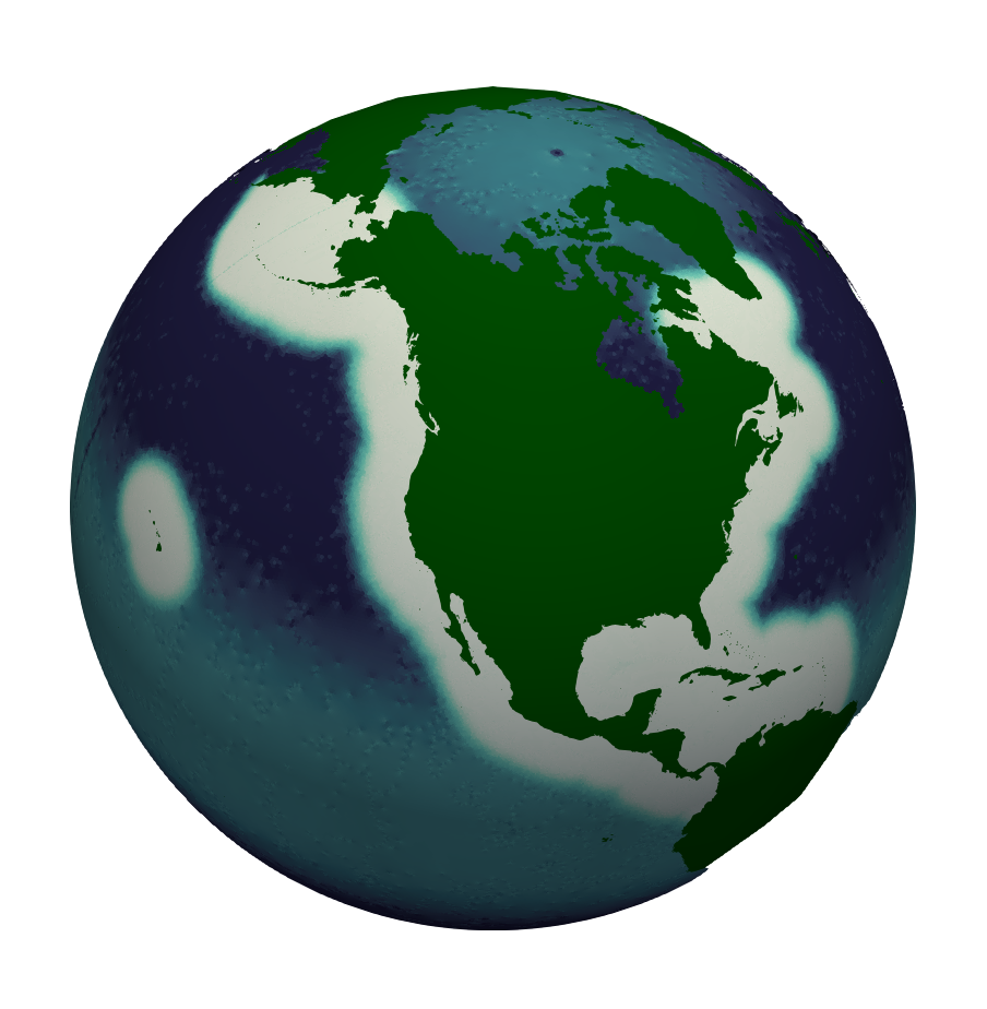
High-resolution simulations produce the most detailed data but are expensive. Variable resolution meshes provide many of the benefits of high resolution without the cost, by placing higher resolution only in areas of interest, in this case, the North American coastline. The new MPAS mesh creation tool developed by Darren Engwirda, JIGSAW, enables much more rapid mesh creation than the previous method, now taking only a few hours rather than weeks or months. This allowed more meshes to be created and tested than would have been possible before.
Using JIGSAW, a series of meshes were tested in 10-year simulations with idealized atmospheric forcing. Three different tests were performed, two using the variable resolution CUSP mesh and one using the standard low resolution EC60to30 mesh. The analysis focused on the Gulf Stream, a current running along the east coast of the United States. In the first test, the size of the cells along the coast was varied from 30 km (lower resolution) to 8 km (higher resolution). The higher resolution meshes captured many aspects of the coastal dynamics more faithfully, but could not fully capture dynamics that were caused by phenomenon outside of the high-resolution region, such as Gulf Stream strength, which is linked to ocean dynamics in the North Atlantic. In the second test, the width of the transition in the CUSP mesh between the high-resolution region and background mesh was varied from 100 km to 900 km. A transition region with intermediate-sized cells is required between the high-resolution region and the rest of the mesh. The width and location of the transition region impacted the dynamics within the high-resolution region. When the transition region was narrow, placing lower resolution cells closer to the Gulf Stream, eddies and meanders could cross from the higher resolution region into the lower resolution region. Even when re-crossing back into the higher resolution region, they did not regain their previous fidelity. In the third test, the cells in a low resolution (EC60to30) mesh were intentionally degraded to have irregular shapes. This had an extremely minimal impact on ocean dynamics.