
E3SM Released to Scientific Community

A new earth modeling system unveiled today will have weather scale resolution and use advanced computers to simulate aspects of Earth’s variability and anticipate decadal changes that will critically impact the U.S. energy sector in coming years.
After four years of development, the Energy Exascale Earth System Model (E3SM) has just been released to the broader scientific community this month. The E3SM project is supported by the U.S. Department of Energy’s Office of Science in the Biological and Environmental Research Office. The E3SM release will include model code and documentation, as well as output from an initial set of benchmark simulations.
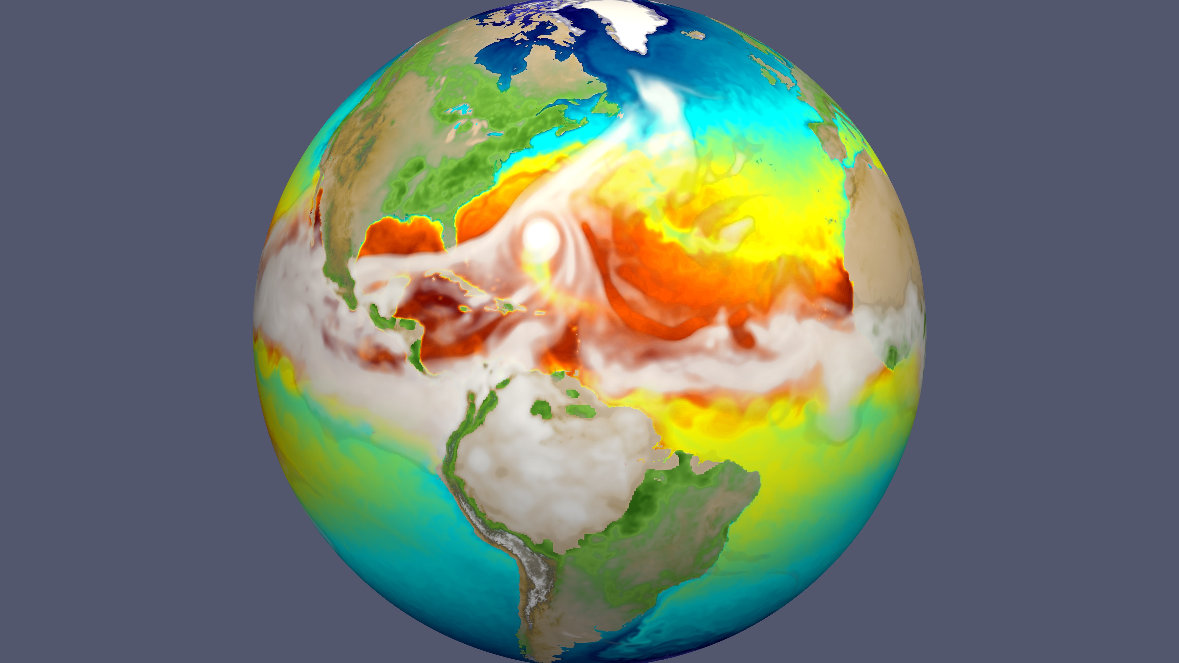
The Earth, with its myriad interactions of atmosphere, oceans, land and ice components, presents an extraordinarily complex system for investigation. Earth system simulation involves solving approximations of physical, chemical and biological governing equations on spatial grids at resolutions that are as fine in scale as computing resources will allow.
The E3SM project will reliably simulate aspects of earth system variability and project decadal changes that will critically impact the U.S. energy sector in the near future. These critical factors include a) regional air/water temperatures, which can strain energy grids; b) water availability, which affects power plant operations; c) extreme water-cycle events (e.g. floods and droughts), which impact infrastructure and bio-energy; and d) sea-level rise and coastal flooding which threaten coastal infrastructure.
The goal of the project is to develop an earth system model (ESM) that has not been possible because of limitations in current computing technologies. Meeting this goal will require advances on three frontiers:
- Better resolving earth system processes through a strategic combination of developing new processes in the model, increased model resolution, and enhanced computational performance;
- Representing more realistically the two-way interactions between human activities and natural processes, especially where these interactions affect U.S. energy needs; and
- Ensemble modeling to quantify uncertainty of model simulations and projections.
For more information, read the full press release on the Lawrence Livermore National Laboratory website.