
Harmonized Database of Western U.S. Water Rights (HarDWR)
In the Western U.S., water rights held for agriculture, including water for irrigation, are among the most numerous and oldest rights.
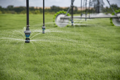
Photo by Lance Cheung for USDA (https://www.flickr.com/photos/usdagov/50193777893)
When the database was conceived, no interstate collection of water rights for the 11 Westernmost states of the coterminous U.S. had been published, partly because each state manages their water rights with disparate methods and definitions. With increased water scarcity in the region, there are concerns that the current management practices are not sufficient for long-term environmental and economic health. To understand these larger scale trends, the records needed to be collected and formatted according to a consistent method. In addition to the harmonized records, the database also features summaries of water rights totals by the management areas used by each state.
This new HarDWR database of Western U.S. water rights records offers consistent identifiers for spatial water management units and categorizes water rights into seven broad use categories. It is publicly available to support further water management research in the region. The database is already used as input for a coupled-model analysis to bring hydrologic realism to water rights trading markets. Presently, this database is one of two data products compiling water rights information for the Western U.S. However, it is the sole database specifically tailored for compatibility with the Water Balance Model (WBM).
In the arid and semi-arid Western U.S., access to water is regulated through a legal system of water rights. Individuals, companies, organizations, municipalities, and tribal entities have documents that declare their water rights. State water regulatory agencies collate and maintain these records, which can be used in legal disputes over access to water. While these records are publicly available data in all Western U.S. states, the data have not yet been readily available in digital form from all states. Furthermore, there are many differences in data format, terminology, and definitions between state water regulatory agencies. Here, we have collected water rights data from 11 Western U.S. state agencies, harmonized terminology and use definitions, formatted them for consistency, and tied them to a Western U.S.-wide shapefile of water administrative boundaries.