
Linkages Between Riverine Flooding Risk and Economic Damage Over the Continental United States
Floods are among the costliest natural hazards in the USA, with 2019 losses totaling $335 billion, the highest for property and agricultural damages from natural disasters.
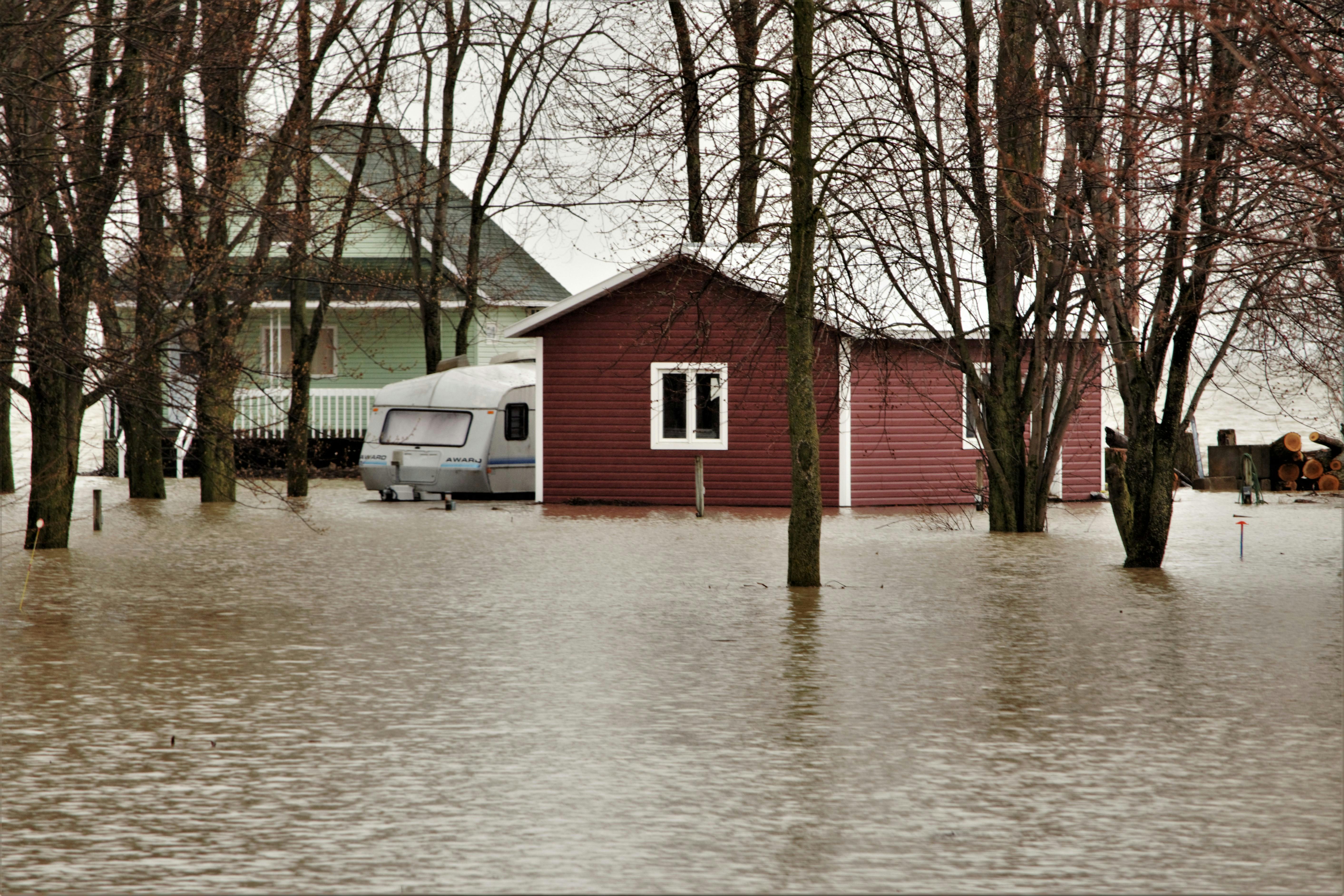
Photo by Serge Lavoie, Pexels.
Understanding the connection between flooding damage and its risk components, such as hazard, exposure, and vulnerability, as well as how these components interact, is essential to being prepared for future disasters. However, few economic studies in the U.S. have measured the roles of these flooding risk factors independently and locally, which limits the ability to estimate future damage in detail. We propose alternative hazard and vulnerability measurements at the county level, which were only previously carried out at the state level using indirect vulnerability measurements, to assess the spatial distribution of historical property damage from flooding events connected to river discharge across the contiguous U.S. We collected data on (1) property and human damages from flooding, (2) maximum annual river discharge, (3) the number of housing units and the years in which they were built, and (4) the incidence of flooding events in order to analyze the flooding risk factors of non-coastal counties within the contiguous USA between 1999 and 2018. In the context of censored flooding damages for panel data, we employed the trimmed least absolute deviated and trimmed least square estimators approach to estimate the individual impact of hazard, exposure, and vulnerability.
For the first time, a parsimonious yet practical method of measuring risk factors that enables the analysis to be expanded to a broad scale is described here, allowing for the spatial decomposition of the flooding risk components across CONUS into hazard, exposure, and vulnerability. The decomposition analysis of the estimated property damages during the period 2001-2018 shows that most of the damages related only to hazard dominate in counties within the Mississippi River system and the northeastern U.S. Meanwhile, the damages associated only with exposure dominate in counties along the west coast, eastern Texas, Arizona, and the Carolinas, and the damages associated only to vulnerability dominate mainly in the Great Plains of the U.S. and western Texas. These results underscore the importance of community organizations and funding mitigating techniques. To minimize potential flooding impacts, heavily populated counties need to focus on rigorously checking newly issued building permits. Furthermore, counties near or a part of the Mississippi River system might see more severe consequences from climate change.
Economic damages from riverine flooding are expected to grow because of climate change. Yet, there are few studies analyzing flooding damages in the USA that clearly measure the roles of hazard, exposure, and vulnerability separately and locally. A lack of this knowledge prohibits spatially detailed predictions of future damages. By being able to separate these three risk factors, we provide all necessary inputs for uncertainty analysis of the flooding damages forecasts that can incorporate new predictive scenarios for each component. To analyze the flooding risk factors of non-coastal counties within the contiguous USA between 1999 and 2018, we gathered information on (1) property and human damages from flooding, (2) maximum annual river discharge, (3) the number of housing units and the years in which they were built, and (4) the incidence of flooding events. We used the method of trimmed least absolute deviated and trimmed least square estimators to obtain the individual impact of hazard, exposure, and vulnerability in the context of censored flooding damages for panel data. The resulting estimates indicate that exposure has been the main driver of flooding risk for most counties in the USA. We use these estimates to describe the main source of flooding risk for non-coastal counties for the 1999–2018 period.