
Satellite-Based Mapping of Sediment-Laden Sea Ice in the Arctic
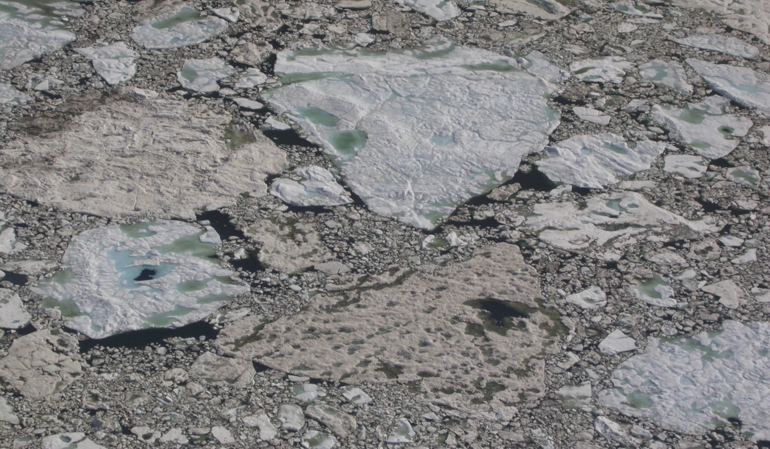
Sediment-laden sea ice is a ubiquitous phenomenon in the Arctic Ocean and its marginal seas. With recent shifts in Arctic ice regimes likely increasing the amount of sediment-laden ice, an effective, satellite-based approach to assess and track large-scale variations in sediment-laden ice has been developed.
The satellite-based approach developed here greatly increases the availability of data extensive in both time and space to monitor and track spatiotemporal variations in sediment-laden ice. In addition to providing a better understanding of sediment entrainment into ice, its subsequent transport and relevance for marine biogeochemistry and surface albedo, the study provides a foundation for validation of large-scale models of such processes.
Areal fractions of sediment-laden ice were estimated from remotely-sensed surface reflectances through a spectral unmixing algorithm. The study identified strengths and potential uncertainties associated with different methods, including due to limited spectral resolution of currently available satellite data. The most promising approach, implemented with the aid of a neural network, provides data on spatiotemporal variations in sediment-laden ice in reasonable agreement with spatial patterns and seasonal variations reported in the existing literature and observed in the field. As the role of sediment-laden ice in Arctic marine systems is very different from that of clean ice but still poorly understood, satellite-based approaches provide important insight into sediment transport processes and radiation budget impacts, relevant also in the context of model development and validation. A more detailed assessment of sediment-laden ice distribution in along the Beaufort Sea coastline ties in with the development of coastal typologies (under the InteRFACE project) based on shoreline retreat, exposure, sediment composition and other factors.