
Building a Global Database of Mesoscale Storms
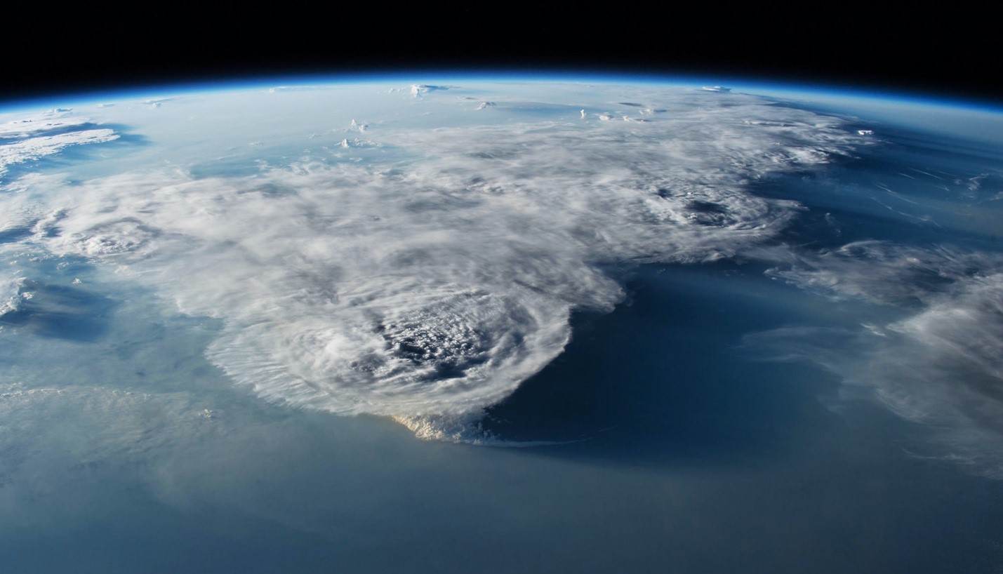
Convective storms of intermediate or mesoscale dimensions are a key component in the Earth’s energy and hydrological cycles. Past efforts to develop mesoscale storm databases have been limited to the tropics, and used methodologies that were insufficiently tested at midlatitudes. A new study presents a novel methodology for the global tracking of mesoscale convective systems (MCSs) using state-of-the-art satellite observations. Researchers found that mesoscale convective storms account for over 50% of the annual rainfall across the tropics, as well as many subtropical and midlatitude regions. Land-based storms show more intense convection, while those oceanic storms produce heavier rainfall and last much longer.
Next-generation, high-resolution global climate models may have the potential to improve simulations of MCSs and provide more accurate projections of future changes. Yet the real-world, global distribution of MCSs, their characteristics, and rainfall have remained elusive. Researchers developed a new methodology that uses high-resolution satellite observations of clouds and precipitation to track MCSs. This new storm tracking database is the first with 20 years (2000-2019) of data from the tropics and midlatitudes. It supports a broad range of research, including understanding the role of MCSs in global extreme rainfall, circulation, and flood hazards and evaluating global weather and climate model simulations.
MCSs can grow to hundreds of kilometers in size and last for over a day. They produce a majority of annual rainfall in many regions of the world. MCSs also generate copious amounts of hazardous weather, including flooding, large hail, tornados, and damaging winds. Previous research studying the global distribution of MCSs has been limited to the tropics, as midlatitude storms are more variable and challenging to correctly identify using satellite data. Researchers developed a novel technique that jointly uses geosynchronous satellite observed cloud-top temperature and high-resolution global precipitation estimates from NASA to track MCSs. The new satellite-based storm tracking reproduces important storm statistics derived from reference ground-based radar observations, validating the approach. It also significantly improves the detection of midlatitude MCSs. The new database reveals that MCSs account for over half of the annual rainfall across most of the tropics and several midlatitude regions, with strongly seasonal behavior over many regions of the globe. The longest-lived and heaviest raining MCSs are found over subtropical oceans, while the most intense MCSs mainly occur over land.